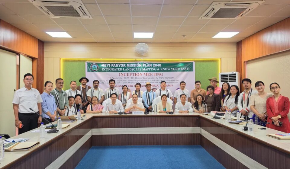

Itanagar, September 15, 2026 — Keyi Panyor district in Arunachal Pradesh launched a district-wide integrated landscape and village-level mapping exercise on September 15 as part of the Keyi Panyor Mission Plan 2040 (KPMP 2040). The effort brings together government agencies, scientific institutions, universities, elected representatives and civil-society organisations to build a shared knowledge base intended to guide long-term development across the district.
The mapping exercise will collect and consolidate spatial, environmental and community-level information to support evidence-based planning under KPMP 2040. By combining landscape-scale data with detailed village-level records, organisers aim to create a multi-layered resource that can inform land-use planning, resource management, infrastructure decisions and local development priorities over the coming decades.
An inception meeting on September 15 convened the participating stakeholders to define objectives, roles and methods for the exercise. The collaborative approach is designed to ensure that academic research, government planning and community needs are aligned, and that the resulting database is accessible to policymakers, researchers and local representatives.
Officials and partner organisations say the initiative will serve as a baseline for monitoring progress and for integrating social, economic and environmental considerations into the district’s long-term mission plan. The mapping project is positioned as a foundational step toward coordinated, sustainable development in Keyi Panyor through 2040.
Original Source: https://eastmojo.com/arunachal-pradesh/2026/09/16/arunachal-keyi-panyor-launches-district-wide-landscape-mapping/
Category: Arunachal Pradesh,Free Digest,National News,News,Northeast News,Top News
Tags:
Publish Date: 2026-09-16 10:00:00