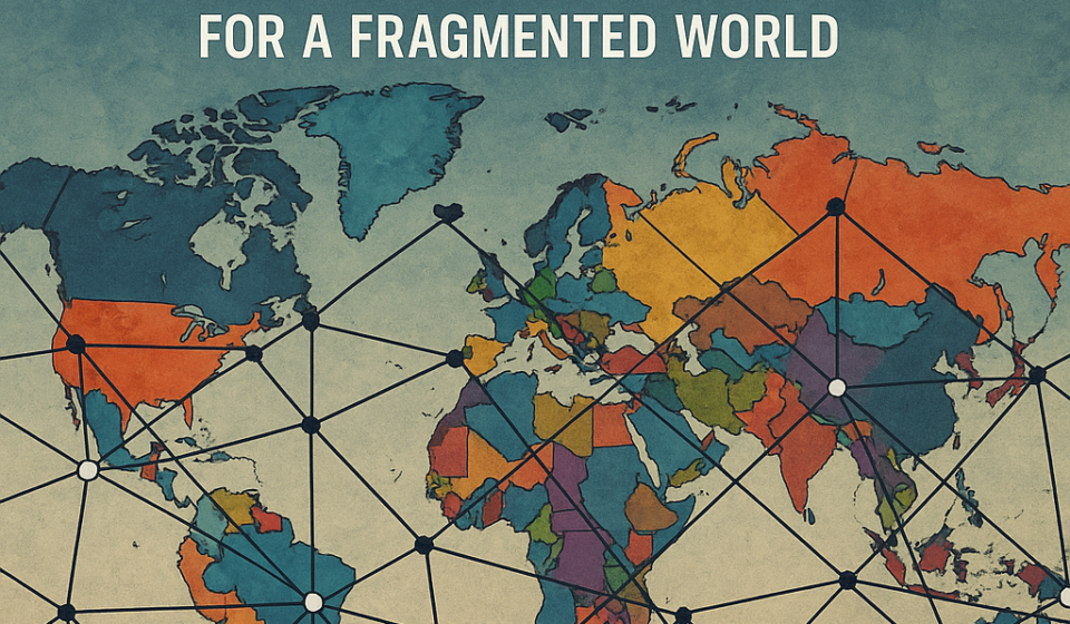
Mapping Sovereignty: Architecting Neutral Geodata for a Fragmented World

The map is no longer neutral – and that’s the point we need to design for.
Strategic zoom-out
A seemingly simple act – changing a place name in a government gazetteer – has rippled quickly through commercial map layers, user experiences, and public debate. The episode highlights a structural truth: geospatial data is simultaneously technical infrastructure, legal record, and political instrument. Treating it as only one of those things is a recipe for brittle systems.
Context (the signal)
Recently, a national authority updated an official place-name record and several major digital map providers began reflecting that change for users inside that country, while other providers and international users continued to see the older name or both names. Open mapping projects and third-party vendors reacted differently, and some declined to follow the change.
Analysis – what this means for enterprise architecture and platform owners
Three architectural lessons are immediate.
-
Source of truth is contextual, not singular.
Enterprises that build services on top of maps or place data – logistics platforms, emergency response systems, financial KYC flows, tourism apps – must stop assuming a single canonical name or ID will suffice globally. Names change for political reasons; identifiers (persistent, versioned IDs) do not. Design your geospatial model around immutable identifiers (lat/lon + stable UUIDs) and attach name variants as localized attributes with provenance, timestamps, and jurisdictional scope. -
Provenance and auditability are product requirements.
When a map label changes because a government database is updated, downstream consumers need an auditable chain: who changed the value, which dataset propagated it, when, and what policy decision triggered acceptance or rejection. For enterprise consumers that affect people (e.g., legal address validation, cadastral records), provenance is a compliance control. Treat gazetteers, GNIS-like registries, and vendor updates as event streams; capture and store the events, not just the final state. -
UX and trust must surface ambiguity, not hide it.
From a user perspective, abruptly swapping a familiar name for a new one – or showing different names to different users – is jarring and erodes trust. UX patterns that work: show both names when conflict exists, expose a “why this name?” info link that surfaces provenance, and allow user preference for local or official naming. For global products, implement a naming policy that is explicit and configurable per market.
Trade-offs and risk management
There’s a tension between fast updates (follow the newest official registry) and stability (avoid breaking downstream processes). Speed favors conformity to the latest authoritative source; stability favors conservatism with human review. My recommendation: adopt a staged propagation pipeline – ingest official registry changes, mark them as “candidate”, run automated dependency checks (are these place names used in legal documents, contracts, route datasets?), then promote to production with metadata and rollback capability. This reduces operational shock while preserving responsiveness.
Open data ecosystems and sovereignty
OpenStreetMap’s choice to record multiple names and let integrators decide is instructive: a federated model supports plurality. Governments and enterprises should invest in interoperable, well-documented gazetteers that publish change feeds (e.g., APIs, change logs) rather than opaque one-off dumps. That reduces surprises and supports DPI-like resilience for critical services.
Localization – a quick Bharat note
India has navigated city and place renamings before; the same principles apply. For public services built on India’s Digital Public Infrastructure, guaranteeing continuity (service availability, legal address consistency) while reflecting legitimate administrative changes demands the same architecture: stable identifiers, provenance, staged updates, and clear UI affordances for alternate names in local languages.
Takeaways (for CTOs, product leaders, and researchers)
- Model places as identity + mutable attributes; never rely on name strings as the primary key.
- Ingest authoritative registries as event streams and preserve full change history.
- Build policy-driven propagation: candidate → review → production with rollback.
- Surface provenance in the UI to preserve user trust.
- Use federated data strategies (official + community sources) with conflict-resolution rules.
Closing thought
Maps are the canvas on which many digital services are painted; if we want those services to be resilient, equitable, and trustworthy, we must treat place data as governed infrastructure – not incidental content.
About the Author: Sanjeev Sarma is the Founder Director and Chief Software Architect at Webx Technologies. With a core focus on Generative AI integration, Cloud-Native Scalability, and Enterprise Software Architecture, he has spent over two decades driving digital transformation across Northeast India and beyond. Beyond his corporate leadership, Sanjeev is deeply invested in shaping the future of the IT industry. He serves as an Industry Expert on the Board of Studies for Assam Don Bosco University’s School of Technology, advises state technology committees, and actively mentors emerging tech startups at STPI. He brings a unique, dual perspective of high-level enterprise execution and future-ready academic curriculum development.