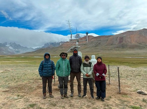

The Sikkim government’s Department of Science and Technology (DST) completed a multidisciplinary field expedition from July 23 to August 8 to assess high‑risk glacial lakes in the upper reaches of Mangan district and to generate scientific data for Glacial Lake Outburst Flood (GLOF) risk assessment, monitoring and mitigation planning. The mission targeted selected vulnerable lake systems in North Sikkim deemed potentially hazardous to downstream communities and infrastructure.
The primary objective was to gather detailed information on lake morphology, surrounding terrain and hydrology to support hazard assessment and the development of lake‑specific GLOF mitigation plans. Teams collected baseline data intended for continued monitoring and future risk evaluations.
Field investigations combined bathymetric, geological, geophysical, hydrological, geomorphological and meteorological studies. Bathymetric surveys mapped lake depths and underwater contours, while Electrical Resistivity Tomography (ERT) probed subsurface structures-both critical for understanding lake stability and failure mechanisms.
On the ground, scientists carried out ERT, bathymetry, DGPS surveys for precise positioning, streamflow and other hydrological measurements, and geomorphological mapping. Meteorological monitoring stations were installed at Kerang and on the Goma Chhu to record local weather conditions that influence melt and runoff.
The multidisciplinary team included personnel from DST, the Sikkim State Disaster Management Authority (SSDMA), the Department of Mines and Geology (DMG), Sikkim University, the Sikkim Commission on Glacial Hazards, C‑DAC Trivandrum, the Central Water Commission (CWC) in Gangtok, the Brahmaputra Board in Guwahati and Campbell Scientific, New Delhi. The expedition received operational assistance from the Indian Army and the Indo‑Tibetan Border Police (ITBP).
According to DST, the resulting datasets will help characterise lake properties, support hydrodynamic modelling to simulate potential outburst scenarios, and identify likely GLOF hazards. The information is expected to strengthen early‑warning preparedness, targeted mitigation planning and systematic long‑term monitoring of vulnerable glacial lakes.
The department said the initiative represents a key step toward science‑based monitoring of glacial lake hazards in Sikkim and toward improving preparedness of vulnerable communities and critical infrastructure against GLOF risks.
Original Source: https://nenews.in/news/sikkim-conducts-scientific-assessment-of-high-risk-glacial-lakes-in-mangan/60457/
Category: News,glacial lakes,Mangan district,Sikkim
Tags:
Publish Date: 2026-08-11 19:32:00