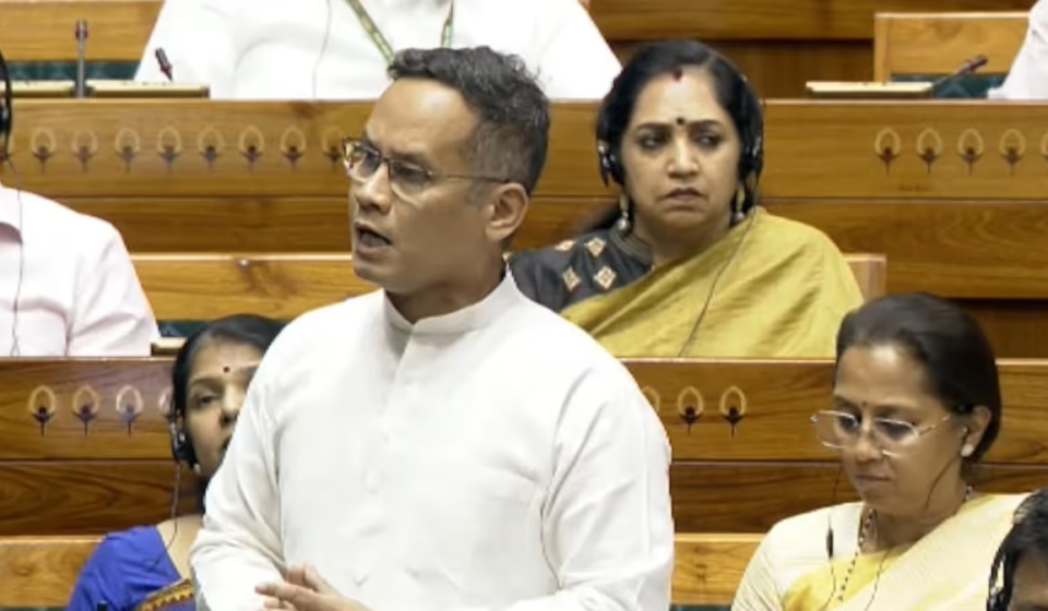

Congress MP Gaurav Gogoi has challenged the effectiveness of Assam’s flood-warning and disaster-response system after the Centre told Parliament that the Indian Space Research Organisation (ISRO) provides near real-time flood monitoring for the Brahmaputra basin and delivers flood inundation maps to the Assam State Disaster Management Authority (ASDMA) within five to six hours of satellite data acquisition. The exchange took place when the Department of Space replied in writing to an unstarred question in the Lok Sabha on August 5, 2026.
In its reply, the Department of Space said ISRO disseminates satellite-based flood inundation maps and value-added products to disaster-management authorities within 5–6 hours of acquiring satellite data. The government noted ISRO’s near real-time (NRT) monitoring for the Brahmaputra basin and provided production figures: 45 inundation maps and related products were supplied to ASDMA during the 2025 monsoon season, and 33 such products were supplied during the 2026 monsoon season up to July 28, 2026.
The reply specified that flood maps are generated using data from EOS-04 (RISAT-1A), Resourcesat-2/2A, Cartosat-2E and Cartosat-3 satellites. ISRO said these products are shared through the National Database for Emergency Management (NDEM), the Bhuvan geospatial platform, and directly to ASDMA, enabling authorities to access inundation extents and supporting information.
To improve timeliness and district-level detail, the government told Parliament that ISRO has introduced semi-automated flood-mapping workflows, district-level flood reports and provisions for high-resolution imagery to assist damage assessment — though availability depends on cloud-free satellite acquisitions. These steps, the reply suggested, are aimed at faster processing and finer-grained situational awareness.
Gogoi questioned why the availability of near real-time satellite monitoring did not translate into timely warnings on the ground. “The Government has confirmed, in response to my question, that ISRO provides near-real-time flood monitoring for the Brahmaputra basin, with flood data reaching ASDMA within 5–6 hours. Yet, the District Commissioner of Sivasagar has stated that the district had barely three hours to respond to the flash floods of July 19, 2026, with no prior warning issued. The Government must explain why available flood monitoring data did not result in timely alerts and preparedness on the ground,” he wrote on X.
His remarks refer to the flash floods that struck parts of Upper Assam on July 19, 2026, causing significant damage in Sivasagar, Jorhat, Golaghat and Charaideo districts. The exchange highlights a central question for disaster management in Assam: how to ensure satellite-derived, near-real-time flood information is translated rapidly into local warnings and actionable preparedness at district level.
Original Source: https://www.indiatodayne.in/assam/story/gaurav-gogoi-questions-assam-flood-alert-system-after-centre-confirms-isros-near-real-time-monitoring-1434657-2026-08-07?utm_source=rssfeed
Category:
Tags:
Publish Date: 2026-08-07 09:40:00